Digital twin technology is being developed by European scientists to produce a virtual replica of the terrestrial water cycle, providing a tool to help better manage water resources and mitigate water-related disasters.
The Digital Twin Earth Hydrology Platform combines new high-resolution satellite observations and AI-driven modelling to build a “test environment” for the planet. This offers users to assess the impact of future changes to the water cycle caused by myriad factors, such as human impacts, climate change, and complicated geography, which currently make floods and droughts hard to predict.
Originally an initiative of the European Space Agency, the project has been developed by scientists from across the continent, who have just published an account of their work to date.
Given the complexity of mapping the entire Earth’s water cycles, the researchers first focused on a specific target – the water system of the Po Valley in northern Italy – before scaling up to look at the terrestrial water cycle Mediterranean region.
“Our goal is to create a system that allows non-experts, including decision-makers and citizens, to run interactive simulations,” Dr Luca Brocca of the National Research Council of Italy, the lead author, says.
The next step is to expand the project to cover all of Europe, and then embark on collaborations to deploy the same principles around the world.
Complex inputs
To create their digital twin, Brocca and his colleagues needed to access huge quantities of satellite data, including detailed measurements of soil moisture, precipitation, evaporation, river discharge, and snow depth.
Crucial to the success of the digital twin is the ever-improving capabilities of satellites to provide more detailed coverage of many aspects of the earth – also a factor in the successful development of MethaneSAT, launched in early March, which tracks methane emissions from oil and gas installations.
Rocca says the Digital Twin Earth Hydrology Platform makes use of measurements taken more frequently across space and time than has previously been possible – as often as once every kilometre and once an hour.
The scientists say a digital twin of the Earth, constantly updated with new data, would be able to simulate best and worst-case scenarios, assess risks, and track the development of dangerous conditions before they occur – crucial information to enable sustainable development and protect vulnerable populations.
Brocca describes the hydrology digital twin as “a perfect example of the synergy between cutting-edge satellite missions and the scientific community”.
Cooperation crucial to meet challenges
“Collaborations like this, coupled with investments in computational infrastructures, will be crucial for managing the effects of climate change and other human impacts,” he says.
Refining hydrology models and moving up to a global scale will be challenging, the scientists say. Issues to be overcome include delays in the transfer of satellite data to the model, gathering more ground observations to validate satellite data, and the increasing complexity of the algorithms needed to handle the data.
Artificial intelligence and machine learning is seen as central to overcoming these challenges, allowing improved data analysis, collection and processing speed, and streamlining data quality assessment.
“The collaborative efforts of scientists, space agencies, and decision-makers promise a future where digital twin Earths for hydrology provide invaluable insights for sustainable water management and disaster resilience,” Brocca says.
The need for cross-organisational and cross-disciplinary collaboration to develop the project is a theme common to those seeking to maximise the potential of digital twin technology in any sphere. Other examples include another pan-European scientific collaboration to provide a model of the continent’s power networks, while scientists and engineers are keen to stress the step-up in collaboration needed to enable digital twins to communicate with each other to increase the scope of what they can achieve.
* A short video explaining the Digital Twin Earth Hydrology Platform can be found here.
* Further resources can be found here.
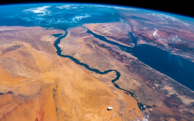
(Photo: River Nile from space/Shutterstock)

